Hrebeňovka Nízkych Tatier
SKZverejnená- 93
- km
- 5
- etáp
- +4 888
- m stúpania
- −4 790
- m klesania
Etapy, časy a profil sa riadia zvoleným smerom.
Náročnosť
Stredná
priemerne +978 m za deň · 18,6 km za deň · 21 km bez nocľahu · najnáročnejší deň +1 252 m
Odvodená zo vzdialenosti a stúpania, nie z terénu — nejde o hodnotenie SAC ani T-stupnicu.
This is the Low Tatras section of the Cesta hrdinov SNP: the red waymark follows the main ridge of the range from Telgárt in the east to Donovaly in the west. From Telgárt it climbs to Kráľova hoľa (1,946 m), then runs west by Andrejcová, the Čertovica pass and Ramža to the high central ridge, where it passes below the summit of Ďumbier (2,043 m) and by Kamenná chata at Chopok, and continues over Chabenec and the long grassy western ridge down to Donovaly. Walkers usually take four to six days. Nights are in huts and shelters on or just below the ridge — some staffed, some free and open — or at the national park's designated bivouac sites.
Redakčný text je zatiaľ len v angličtine.
Vlastný návrh po dňoch. Etapy nižšie sú publikované etapy trasy; váš plán určujú dni, ktoré máte.
Miesta po ceste


Sieť nocľahov: hustá
21km
Najdlhší úsek bez zmapovaného nocľahu
km 16–36
10 nocľahov · 50 pitná voda
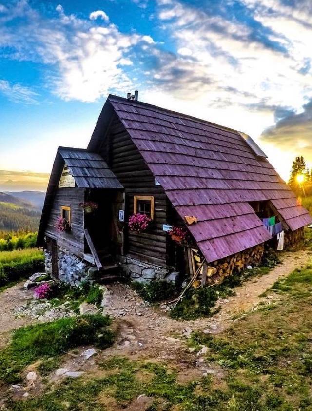
5 útulne · 4 chaty · 1 prístrešky
+5 ďalších do 2 km od trasy
Štatistiky
- 1 998
- m najvyšší bod
- 885
- m najnižší bod
- +4 888
- m stúpania
- −4 790
- m klesania
- 18.6
- km/deň
- 5
- etáp
Najťažšia etapa Telgárt → Útulňa Andrejcová +1 252 m
Etapy
5-stage division of the Low Tatras main ridge (Telgárt–Donovaly section of Cesta hrdinov SNP, OSM relation 7700604) on the 2026-10-24 line, nights at Andrejcová, Ramža, Štefánikova chata and Ďurková, owner A 2026-10-24 · aktualizované 2026-10-24
Dobré vedieť
- Trasa
- Telgárt → Donovaly
- Sezóna
- June–October
- Denné svetlo
- 16 h 10 v polovici júna · 10 h 41 v polovici októbra
- Značenie
- červená
- Spravuje
- KST (Klub slovenských turistov)
- Overnight rules: in the Low Tatras National Park (NAPANT) tents and bivouacs are allowed only at designated sites on the main ridge — among them Andrejcová, Čertovica, Ramža, Priehyba, Ďurková and Hiadeľské sedlo — for one night during a crossing, leaving by 9:00. The park's borders changed on 15 July 2026; check napant.sk before you go.
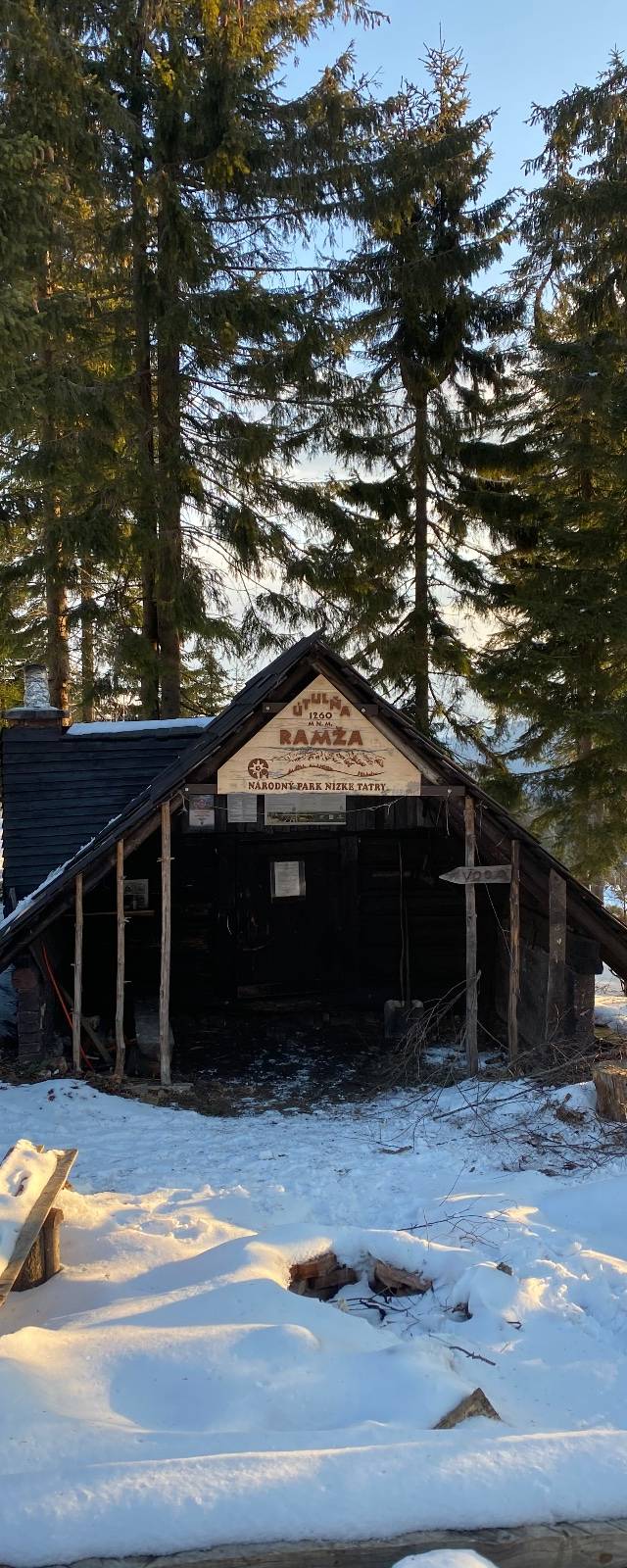
- Huts: Útulňa Andrejcová has a warden — book ahead. Ramža is a free shelter without a warden. Chata M. R. Štefánika and Kamenná chata pod Chopkom are staffed huts. Ďurková has a dormitory — bring a sleeping bag.
- Water: springs lie below the crest, several near the huts, and some run low in late summer — carry enough for the whole ridge day.
- Snow can lie on the high ridge around Ďumbier and Chopok into early summer and returns in autumn; in winter the ridge is exposed avalanche terrain. Check conditions with the mountain rescue service (HZS).
- Getting there: Telgárt is on the railway (stations Telgárt and Telgárt-penzión) — check ZSSK for closures. From Donovaly buses run to Banská Bystrica and Ružomberok.
Redakčný text je zatiaľ len v angličtine.
Trasa a výšky: Telgárt–Donovaly section of OSM relation 7700604 "Cesta hrdinov SNP" (© OpenStreetMap contributors, ODbL), fetched 2026-10-24 · elevation Copernicus DEM GLO-30, bilinear from the 2×2 cell neighbourhood · 8483 points · importované 2026-10-24
Výškové údaje · full-res GPX, 10 m threshold
© OpenStreetMap contributors · Terrain: © Copernicus DEM GLO-30
Naplánujte si noci na trase Hrebeňovka Nízkych Tatier.
Plánovač vám rozloží dni podľa toho, kde sú na trase strechy, a ukáže, kde treba hľadať inú možnosť.