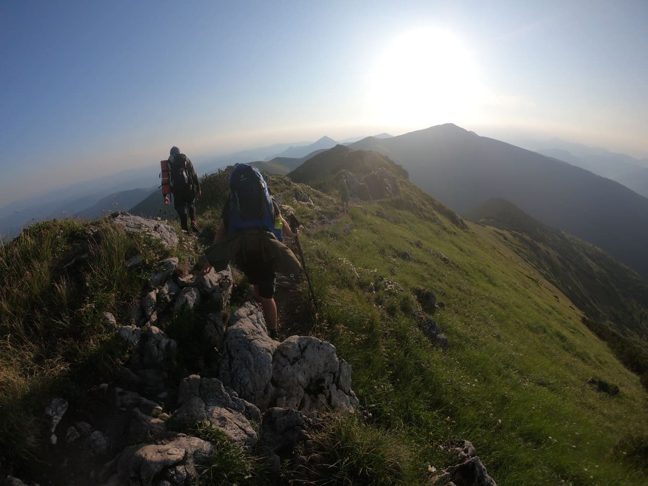
Hrebeňovka Malej Fatry
SKLive- 36
- km
- 2
- stages
- +2 702
- m ascent
- −2 476
- m descent
Stages, times and the profile follow the direction you pick.
Difficulty
Hard
avg +1,351 m/day · 18 km/day · hardest day +1,747 m
Derived from distance and ascent, not terrain grade — not a SAC or T-scale rating.
The red waymark climbs from the Váh at Strečno to Chata pod Suchým and on to Suchý (1,468 m), then follows the open main ridge of the Kriváň Malá Fatra over Malý Kriváň to Veľký Kriváň (1,709 m), the highest point of the range. Past Chleb and the Snilovské sedlo saddle it crosses Hromové and Steny, drops to Medziholie below Veľký Rozsutec and goes over Rozsutec, with ladders and chains on its rocky sections, before descending to Zázrivá. Two long days with a night at Chata pod Chlebom by the Snilovské sedlo; the Vrátna cable car to the saddle is a way off the ridge.
Your own day-by-day draft. The stages below are the trail's published ones; your plan is set by the days you have.
Places along the way

Overnight network: moderate
2
Mapped overnight places along the route
2 overnight places · 7 potable water
+4 more within 2 km off route
Statistics
- 1 651
- m highest
- 354
- m lowest
- +2 702
- m ascent
- −2 476
- m descent
- 18
- km/day
- 2
- stages
Hardest stage Strečno → Chata pod Chlebom +1 747 m
Stages
2-stage division of the Malá Fatra main ridge (Strečno–Zázrivá section of OSM relation 9342582, red 0802) on the 2026-10-24 line, night at Chata pod Chlebom, owner A 2026-10-24 · updated 2026-10-24
Good to know
- Route
- Strečno → Zázrivá
- Season
- June–October
- Daylight
- 16 h 13 mid-June · 10 h 40 mid-October
- Waymarking
- red
- Managed by
- KST (Klub slovenských turistov)
- Overnight rules: Malá Fatra is a national park where camping and bivouacking are not allowed outside designated places. The park allows a bivouac only within 100 m of the huts — on this route Chata pod Suchým and Chata pod Chlebom. Book hut beds ahead. Check the park's current visitor rules.
- Spring closure: from 1 March to 15 June the red path from Medziholie over Veľký Rozsutec to Medzirozsutce is closed to protect breeding birds. Check the current closure before you go; in that period the ridge cannot be walked to Zázrivá this way.
- Veľký Rozsutec has ladders and chains on its rocky sections — take care when wet.
- The Vrátna cable car runs to the Snilovské sedlo (about 30–40 minutes' walk from Chata pod Chlebom) — a way down in bad weather. Check its operating hours.
- Getting there: the Strečno stop is at Nezbudská Lúčka, where the red waymark starts; a footbridge leads to Strečno village. Bus connections from Zázrivá are sparse — check the timetable.
Route & elevation: Strečno–Zázrivá section of OSM relation 9342582 (red 0802, KST) (© OpenStreetMap contributors, ODbL), fetched 2026-10-24 · elevation Copernicus DEM GLO-30, bilinear from the 2×2 cell neighbourhood · imported 2026-10-24
Elevation figures · full-res GPX, 10 m threshold
© OpenStreetMap contributors · Terrain: © Copernicus DEM GLO-30
Plan your nights on Hrebeňovka Malej Fatry.
The planner lays out your days by where the roofs on the trail are, and shows where you need another option.